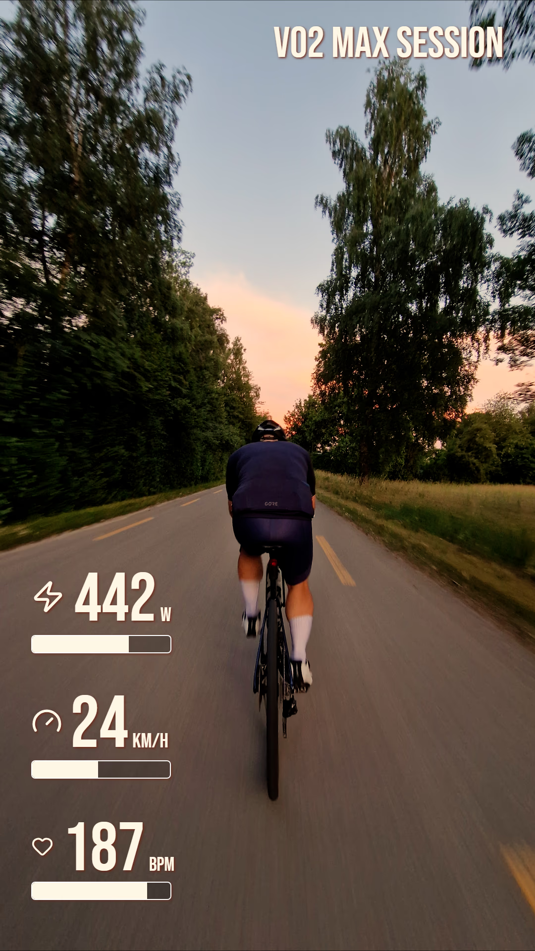
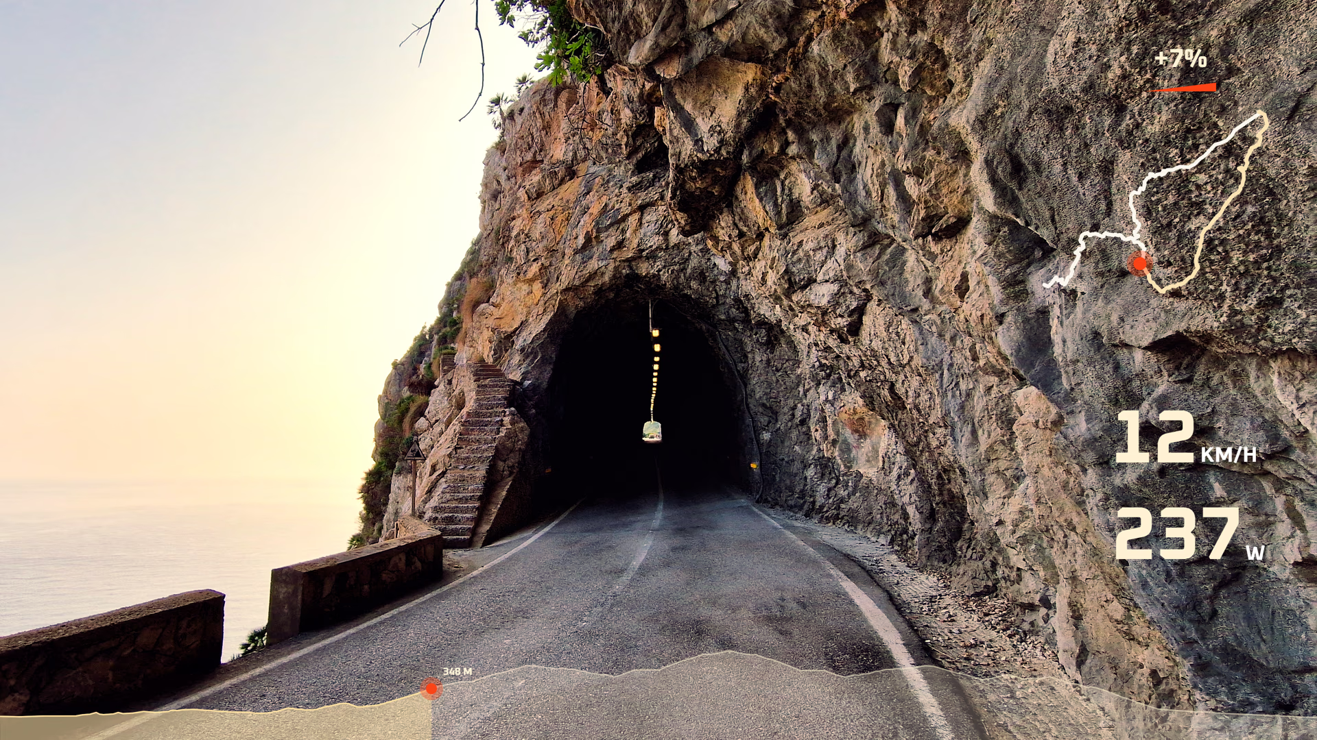
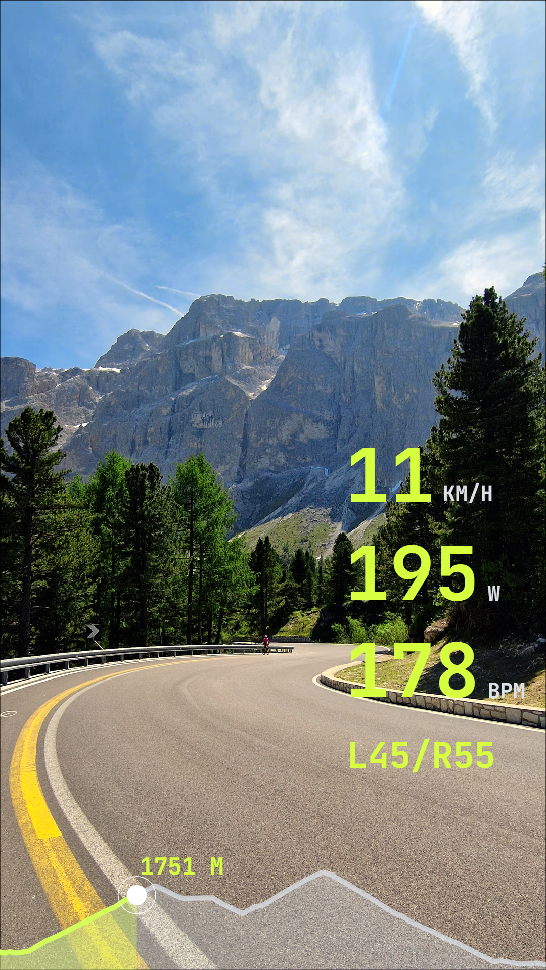
- Best for
- Sport recordings with paired sensors and device metadata.
- Usually contains
- GPS, timestamps, elevation, speed, heart rate, power, cadence, temperature, laps.
- Watch out for
- Only shows sensors that were paired and recorded during the activity.
- Recommended when
- You want the richest activity file for cycling, running, hiking, or training footage.
Format intake
FIT, GPX, and SRT formats for telemetry overlays
The file extension matters, but the recorded fields matter more. This guide explains what OVRLEY can usually read from each activity format and why two files with the same extension can produce different widgets.
OVRLEY turns activity data into video overlays: FIT, GPX, and SRT can all be useful, but they store data differently.
- Use FIT when you want the richest sport and sensor data.
- Use GPX when you mainly need a route, elevation, and GPS-derived movement.
- Use SRT when your drone exports telemetry as subtitle data.
FIT vs GPX vs SRT, without the mystery
Each format was built for a slightly different job and understanding the differences will help you choose the telemetry source to get the exact overlay you want.
- Best for
- Route-first activities and broad compatibility between apps.
- Usually contains
- Latitude, longitude, elevation, time, and sometimes app-specific sensor extensions.
- Watch out for
- Re-exported GPX files can remove sensor fields. The format is a wild west.
- Recommended when
- You mainly need map, elevation, distance, and GPS-derived movement widgets.
- Best for
- Drone action camera footage.
- Usually contains
- Timed text entries with camera GPS, speed, altitude, and camera-specific values.
- Watch out for
- Usually does not include external sensors; quite variable in what it contains.
- Recommended when
- Your GoPro, Insta360, DJI drone or other camera exported telemetry as subtitles.
Which overlay widgets can each format support?
There are two types of widgets - some directly display recoreded data. Others, such as speed or heading, can be calculated by OVRLEY from basic data such as GPS coordinates. In both cases, a widget can only show a metric if the file contains the source telemetry data.
| Metrics / widgets | FIT | GPX | SRT |
|---|---|---|---|
| Course, Elevation, Altitude, Time | Direct | Direct | Direct |
| Gradient | Calculated | Calculated | Calculated |
| Speed, Pace, Vertical speed | Direct | Calculated | Calculated |
| Heart rate, Cadence, Power, Temperature, G-force, Air pressure, Ground contact time, Left/right balance, Stride length, Stroke rate, Torque, Gear position, Vertical oscillation, Core temperature | Direct | Possible | Unavailable |
| Vertical ratio | Possible | Possible | Unavailable |
| ISO, Aperture, Shutter speed, Focal length, EV, white balance | Unavailable | Possible | Direct |
Course, Elevation, Altitude, Time
Gradient
Speed, Pace, Vertical speed
Heart rate, Cadence, Power, Temperature, G-force, Air pressure, Ground contact time, Left/right balance, Stride length, Stroke rate, Torque, Gear position, Vertical oscillation, Core temperature
Vertical ratio
ISO, Aperture, Shutter speed, Focal length, EV, white balance
Decision order
Which format should you use?
When you have more than one export available, start with the original file if possible, or a one that preserves the most original data.
Build your overlay Original recordings usually beat re-exported copies.
Choose FIT first
sensor-rich activity
Use FIT for any sports activity if you have it available. It is most consistent.
Choose GPX for route
track and elevation
Use GPX when the overlay mainly needs a map line, elevation profile, timestamps, or GPS-derived speed.
Choose SRT for drones
subtitle telemetry
Use SRT when the camera exported it alongside the clip and when you want high update frequency.
Same format, different fields
Two files with the same extension can contain very different telemetry. The file format tells OVRLEY how to open the file, but the device and export settings determine what data is actually inside.
FIT is largely standardized, so metrics such as heart rate, cadence,
power, and GPS data are stored consistently across supported devices.
GPX is less standardized. It primarily defines GPS coordinates, elevation,
and timestamps, while additional metrics are up to vendor, stored under custom tags in
extensions. As a result, two GPX files may contain very different telemetry.
The same applies to SRT files. There is no standard for telemetry stored
in SRT subtitles, and even the same manufacturer may use multiple formats. For example,
DJI devices use different SRT layouts depending on the product.
This is why two files that look similar in your file browser may support very different metrics in OVRLEY.
Embedded telemetry
What about telemetry inside MP4 files?
Some action cameras store GPS, motion, or camera metadata inside the video file instead of a separate activity file. OVRLEY can read telemetry from MP4 files of GoPro, DJI, Insta360, Sony, Cannon and other cameras, so you do not need an external separate telemetry file to create your overlays.
Telemetry data inside MP4 files is unfortunately not standardized which makes the
process challenging. Different manufacturers, and even devices from the same
manufacturer, may store telemetry differently.
GoPro primarily uses different versions of GPMF metadata. DJI is the most fragmented: many drones record telemetry as separate SRT files, while others
embed telemetry directly in CAMM tracks, often encoded with protocol buffers
(protobuf). Insta360 cameras use their own proprietary metadata embedded
streams, with different generations of protobuf schemas and metadata layouts.
Because of this, one cannot simply "read telemetry from MP4", but it requires device-specific
parsers accounting for several generations of metadata formats and layouts. See current supported files.
MP4 is a container, not one telemetry format
A camera clip can hold separate streams inside the same file. Video and audio are standard tracks. Some vendors include metadata like GPS, gyro, and camera settings in a vendor-specific metadata track.
Before you import, check the source
Good overlays start with good source data. You do not need to become a file-format expert, but it helps to know whether your export came from the original device and whether timestamps line up with the video. Compare export formats when you are ready to render.
Original export
Use the original activity export where possible instead of a re=export from service such as Strava or Komoot.
Clock sync
Ensure that the clock of your devices and camera are in sync to avoid drift. Account for timezones.
Sensors paired
Check that sensors were connected before recording; OVRLEY handles temporary disconnects.
Complete format
If you export from another app, make sure you export actual activity, and not GPS-plan.
Bring the cleanest activity file you have
OVRLEY is built for local telemetry overlay work: import the activity, choose the widgets the file can actually support, line it up with the footage, and export the result.
Free, local, and built for action camera footage.